It has been 10 years since the European Space Agency has launched Envisat, an 8-ton satellite, into space. Over the past decade, the satellite has captured thousands of stunning images of Earth. The photos reveal how colorfully active our planet is and allow us to marvel at its magnificent beauty. The amalgamation of hues and textures are absolutely astounding. One wouldn't think that these were naturally formed visuals but, rather, the production of a masterful image manipulator. I'm floored by the swirls and speckles of color not only found on Earth, but seen in space. Take a look at some of these amazing captures, selected by Wired Magazine for Envisat's 10th Anniversary, below.
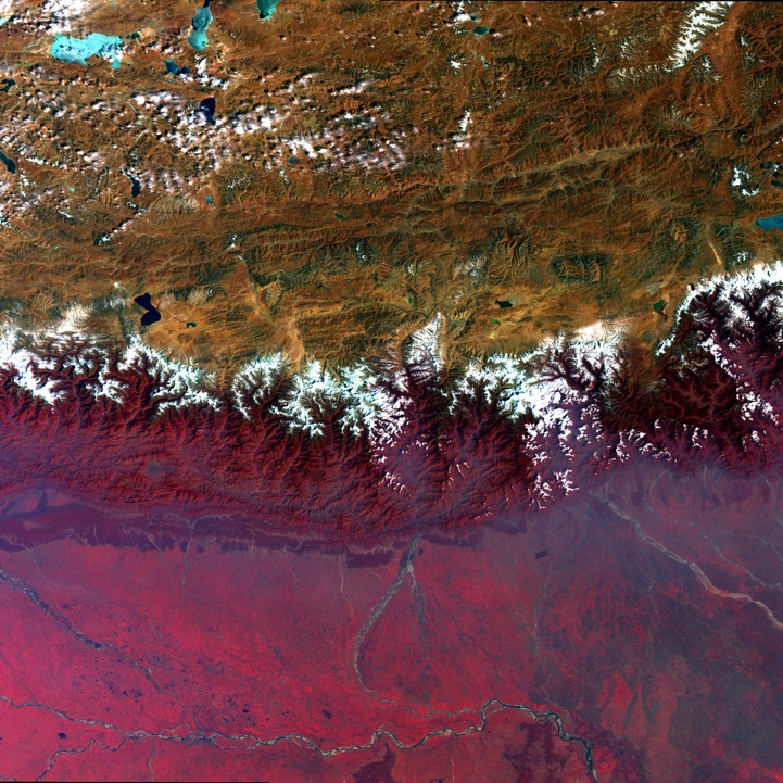
First photo: Himalayan Mountains
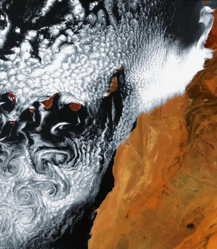
Swirling cloud art in the Atlantic Ocean
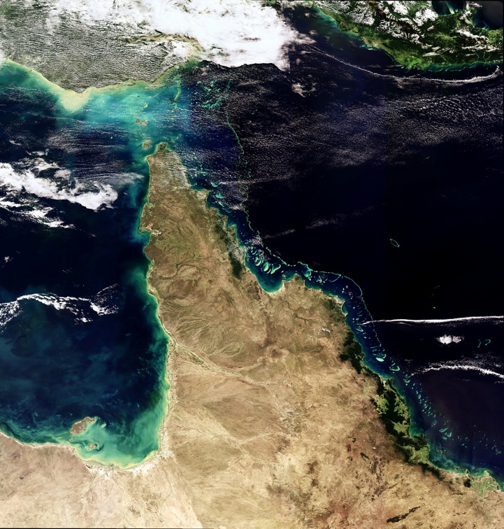
The Great Barrier Reef, Australia
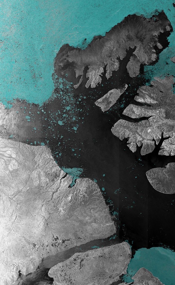
A 2007 ice-free portion of the Northwest Passage
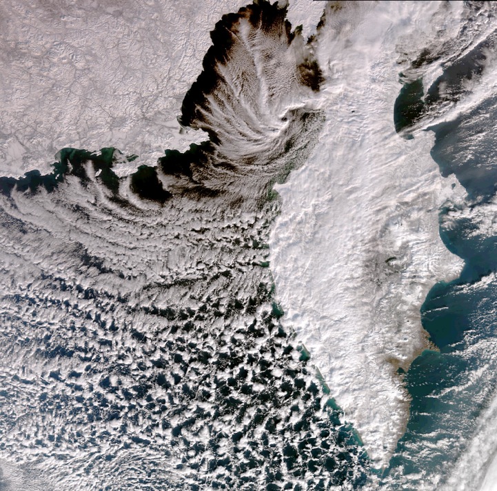
Kamchatka Peninsula, Russia
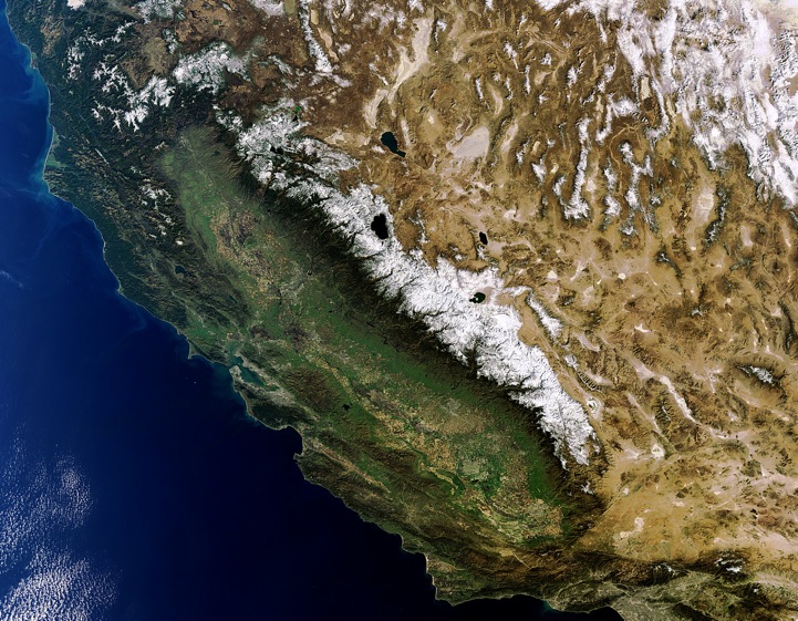
American West
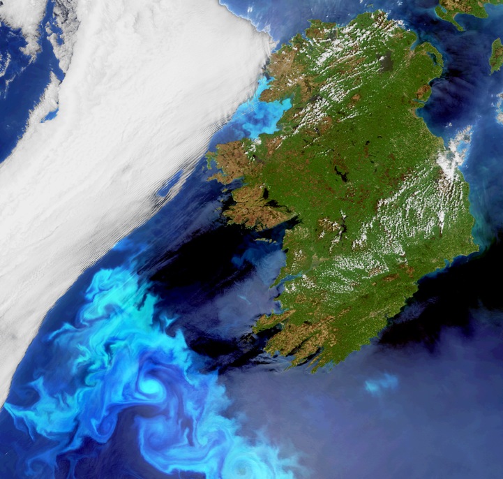
Electric blue blooms off Ireland
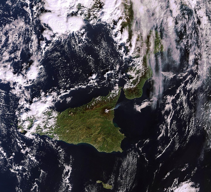
Etna eruption
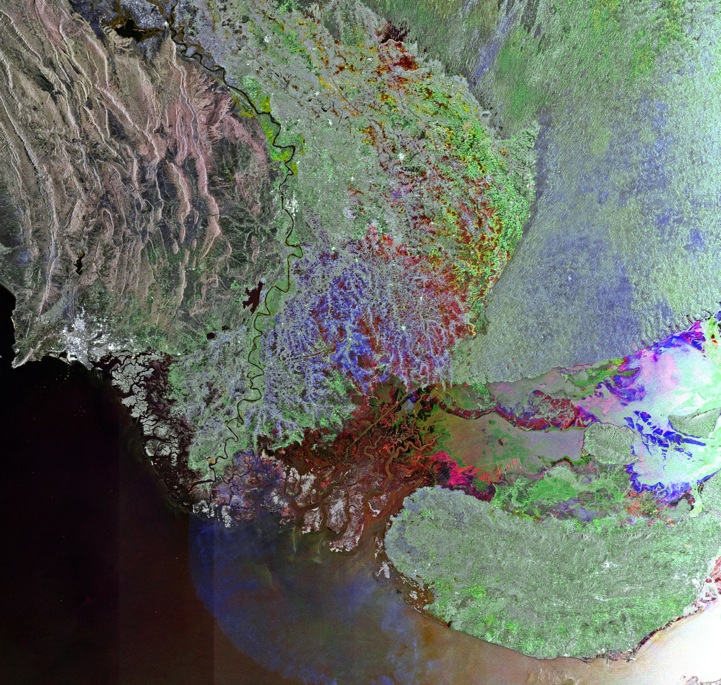
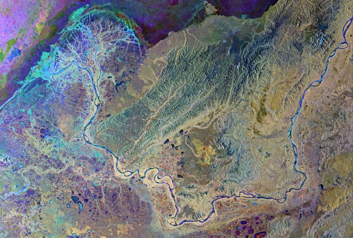
Indus River
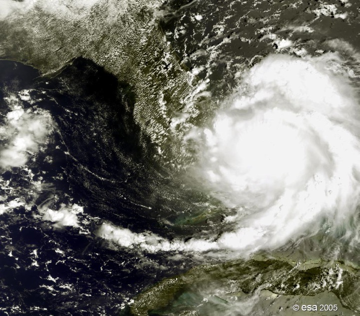
Hurrican Katrina

Earth's North Magnetic Pole

Ganges' dazzling delta
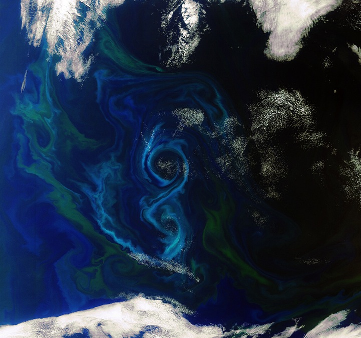
A southern summer bloom
Alaska's Yukon Delta
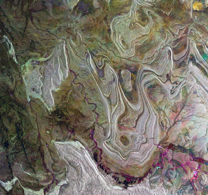
Algerian Sahara
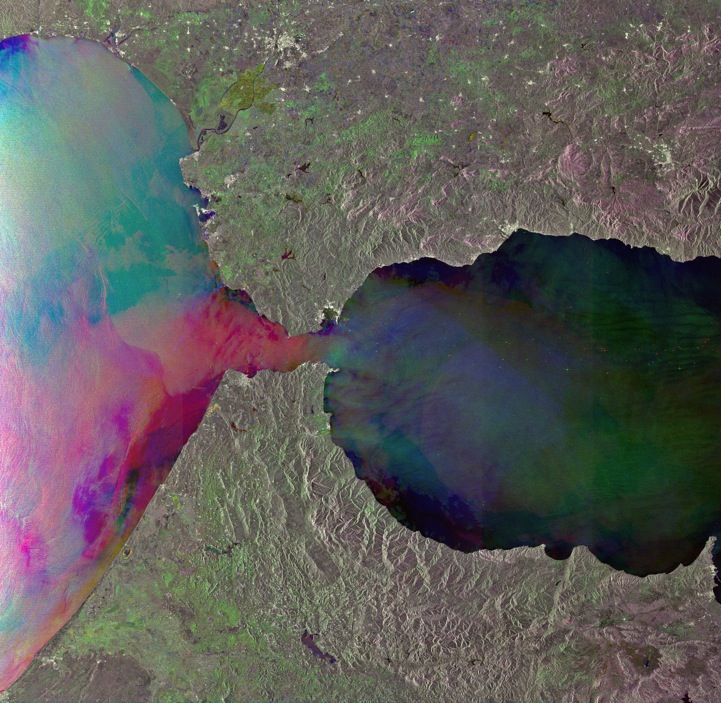
The Strait of Gibraltar
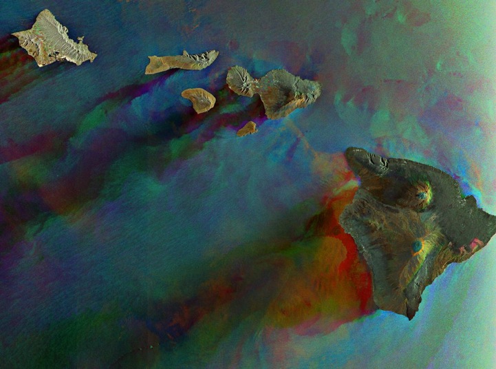
Radar image of Hawaii

Galapagos Islands in the Pacific Ocean
Photo credits: ESA
ESA website
via [Wired]